Postcard from Gilgit

Gilgit-Baltistan covers an area of over 70,000 square kilometres and has an estimated population of nearly 2 million with over 200,000 people living in Gilgit, the capital of the territory. It is bordered by Afghanistan, China, Pakistan Administered Kashmir and Indian Administered Kashmir. Gilgit-Baltistan is an administered territory of Pakistan and constitutes the northern portion of the larger Kashmir region. Kashmir has been subject of a dispute between India and Pakistan since 1947.
To say that the region is mountainous is a massive understatement. It is home to three mountain ranges: Hindu Kush, Karakoram, and the Himalayas. It has five mountains above 8,000 metres: K2 (8611m, Karakoram, just behind Everest at 8850m); Nanga Parbat (8126m, Himalayas); Gasherbrum I (8068m, Karakoram); Broad Peak (8047m, Karakoram); Gasherbrum II (8035m, Karakoram). It also has more than fifty mountains above 7,000 metres.
The airport in Gilgit is surrounded by mountains and the approach is difficult. Poor weather or high winds mean many flights are cancelled. We are lucky as our flight from Islamabad to Gilgit leaves and takes just over an hour. I’m glad the weather is favourable as we seem to skim over mountain ranges as we fly north and the approach into Gilgit seems to be very close to the side of a mountain. I am also glad that we are not driving to Gilgit as the drive would take around sixteen hours due to poor roads.
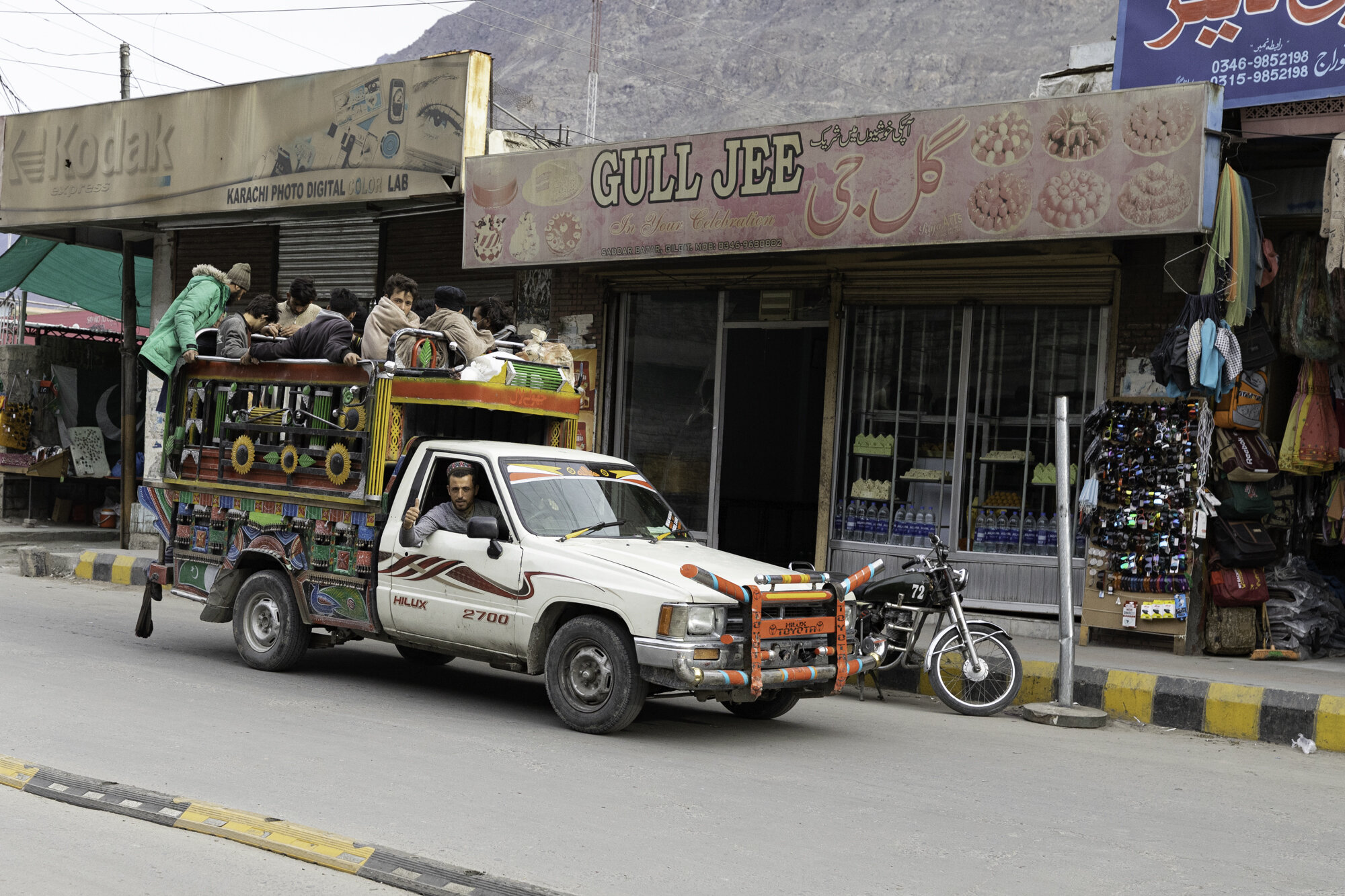
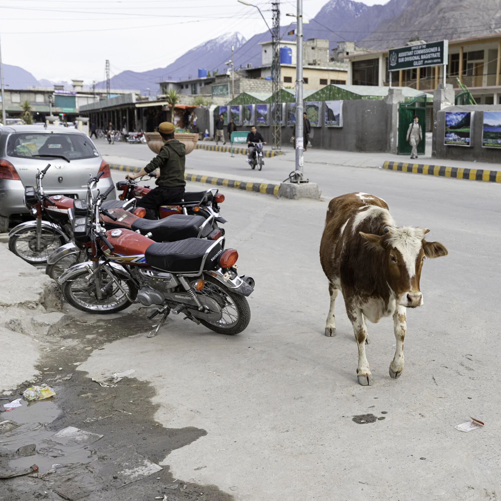
We spend the afternoon looking around Gilgit. The bazaar is quiet as we are travelling during Ramadan. It is watermelon season and everywhere we go we find large barrows with neatly stacked melons, some cut to show off the ruby red inside. There are many shops and stalls selling dried fruit as the area is famous for walnuts and apricots. We visit two suspension bridges, one for cars and one for pedestrians. I’m not sure I would be brave enough to drive a car across the bridge as it is very narrow, the wood creaks and the bridge sways from side to side and up and down. Even with the swaying I manage to take many photos of Gilgit and the river.

Flying from Islamabad to Gilgit

The mountain ranges disappear into the distance

Flying into Gilgit

As you approach the airport you fly very close to the mountains on the left hand side of this photo

The small but welcoming Gilgit Airport

View of Gilgit from the Serena Hotel

Car suspension bridge

Gilgit River

Gilgit River

Just enough room for cars and pedestrians


Orange tarpaulins cover livestock

Pedestrian suspension bridge

The end of the pedestrian suspension bridge and the start of the bazaar

Gilgit Bazaar

Gilgit Bazaar

Selling jalebis (orange swirls - batter is fried and soaked in a sugar syrup) and samosas

Naan seller

Watermelon season

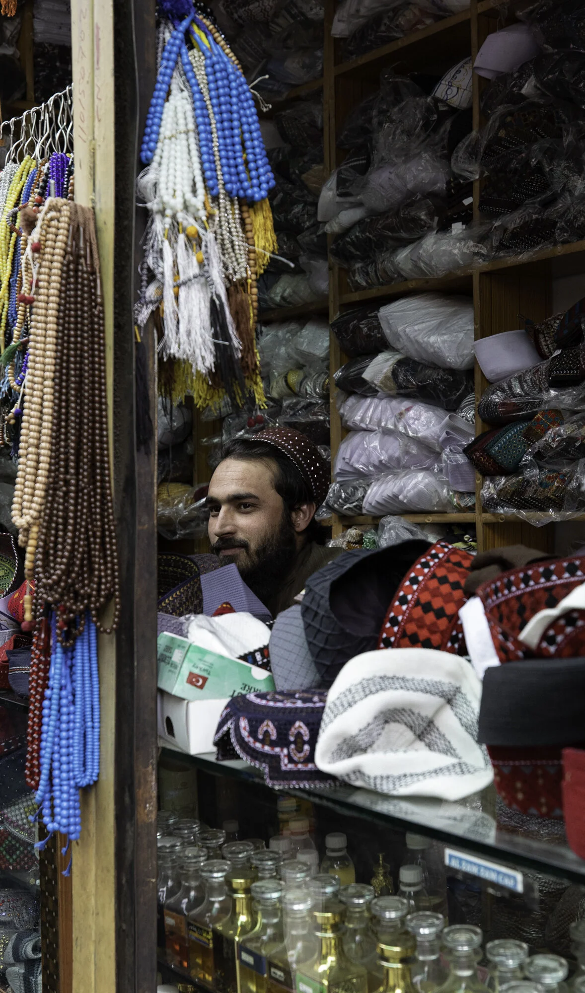
Traditional topi (hats), tasbih (prayer beads) and perfume
A thumbs up from a local
Another friendly local wandering along the Main Street

Dried fruit and nut seller

