Postcards from Pakistan
Postcard from Hushe Valley and Masherbrum, Queen of Mountains
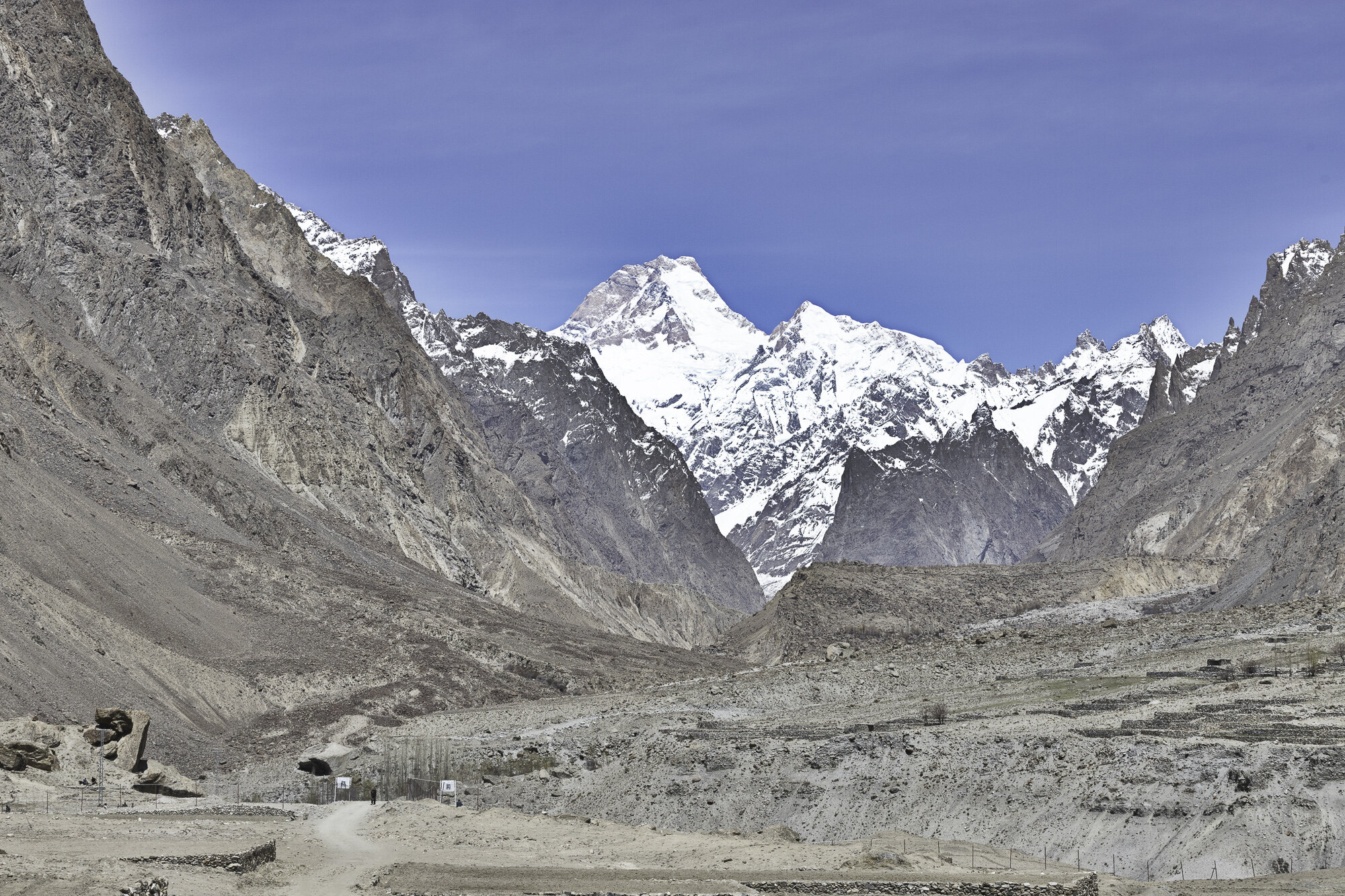
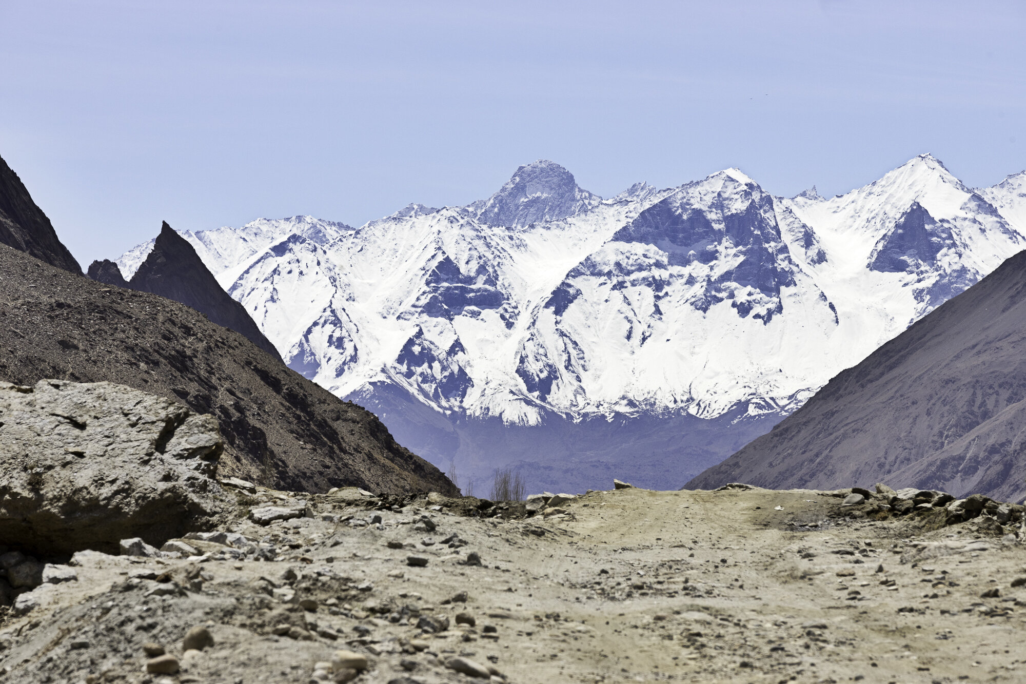
I had never heard of the Hushe Valley in Gilgit-Baltistan. However, it is well known to the trekking and mountaineering community. Hushe Village sits at the very end of the Hushe Valley. Sitting behind the village is Masherbrum at 7821m. There is a well-known K2 base camp trek that starts at Askoli Village, trekking across the Baltaro Glacier, Concordia, finally crossing the Gondogoro Pass before arriving in Hushe Village.
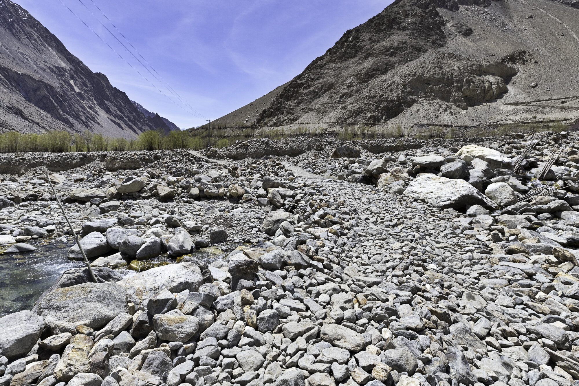
We were not doing the trek. Instead, we were driving to Hushe Village from Khaplu. It is a 60 kilometre drive and you need to allow around 3 hours as the roads after Saling are single lane and most of the road is not paved. The Hushe River runs down the valley eventually meeting up with the Shyok River.
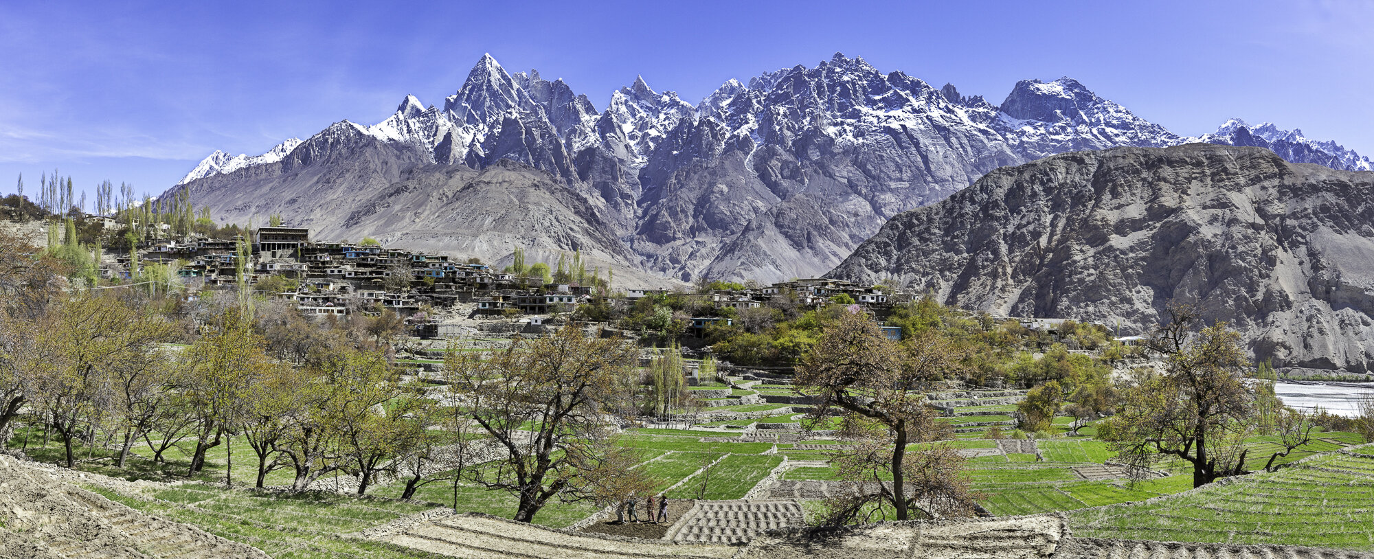
We left Khaplu and crossed the Shyok River at Saling. We stopped to take photos at Saling of the Ghursay Mountains. Ghursay is the local name for K7 (6934m), K8 (7422m) and K9 (7000m). There are many villages to stop and walk around along the way: Machlu; Talis; and Khand. As we wanted to reach Hushe and get back to Khaplu before dark we only stopped a couple of times to take photos. This turned out to be a good idea as on our return our car broke down. Somewhere along the very bumpy road we had lost a vital connector. Our wonderful driver, Shakeel, walked along the road, found a suitable piece of plastic and tied the parts together and we were able to get back to Khaplu.
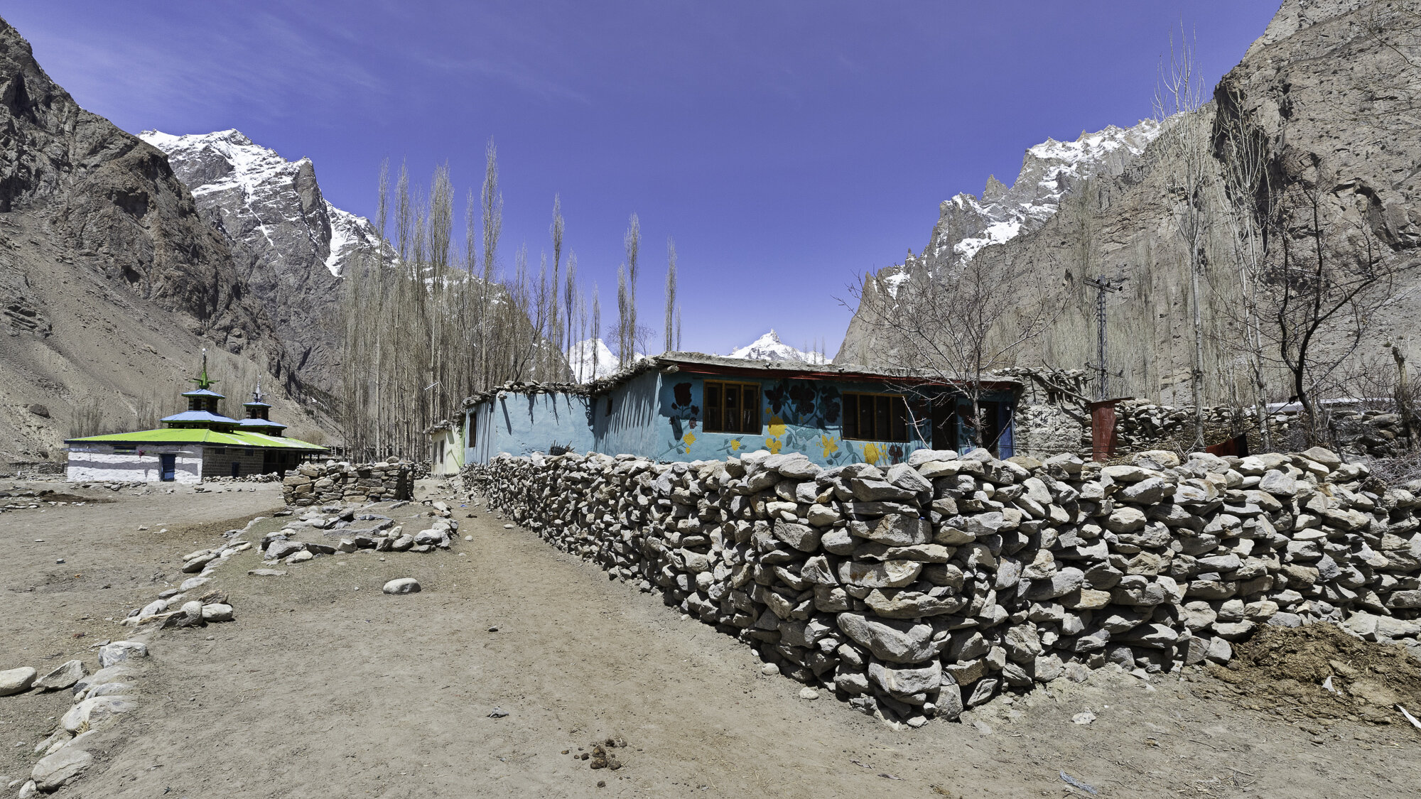
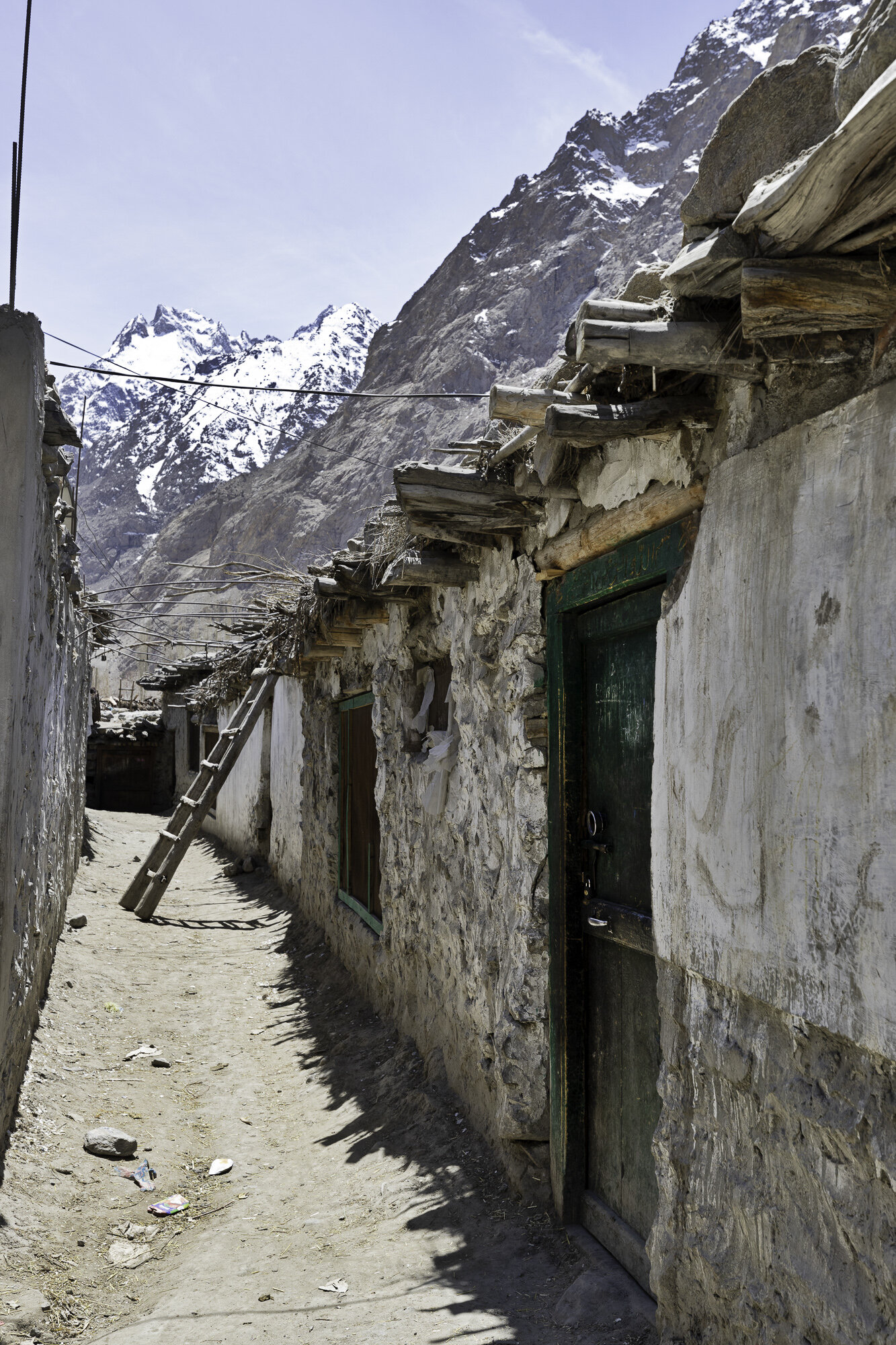
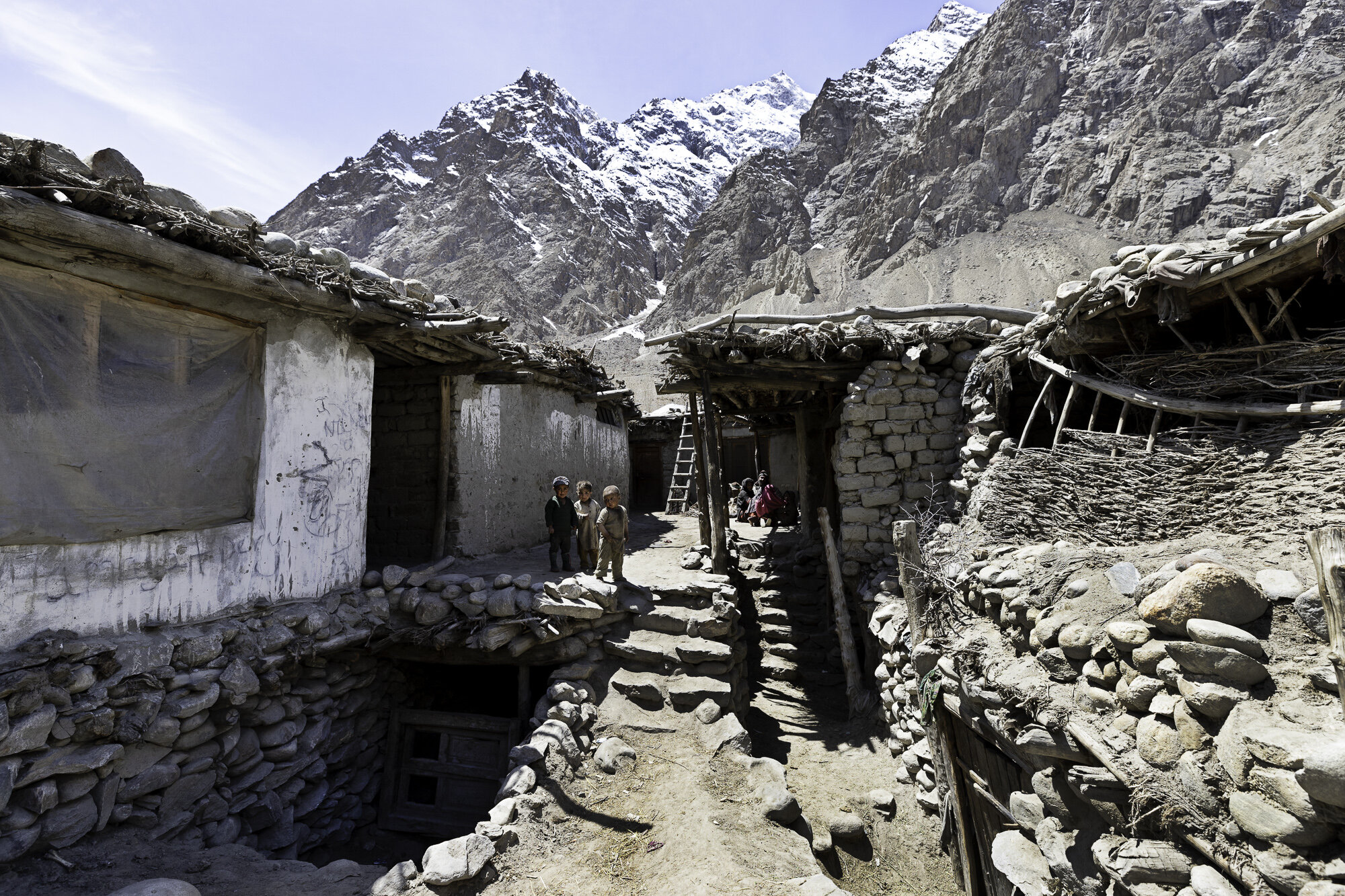
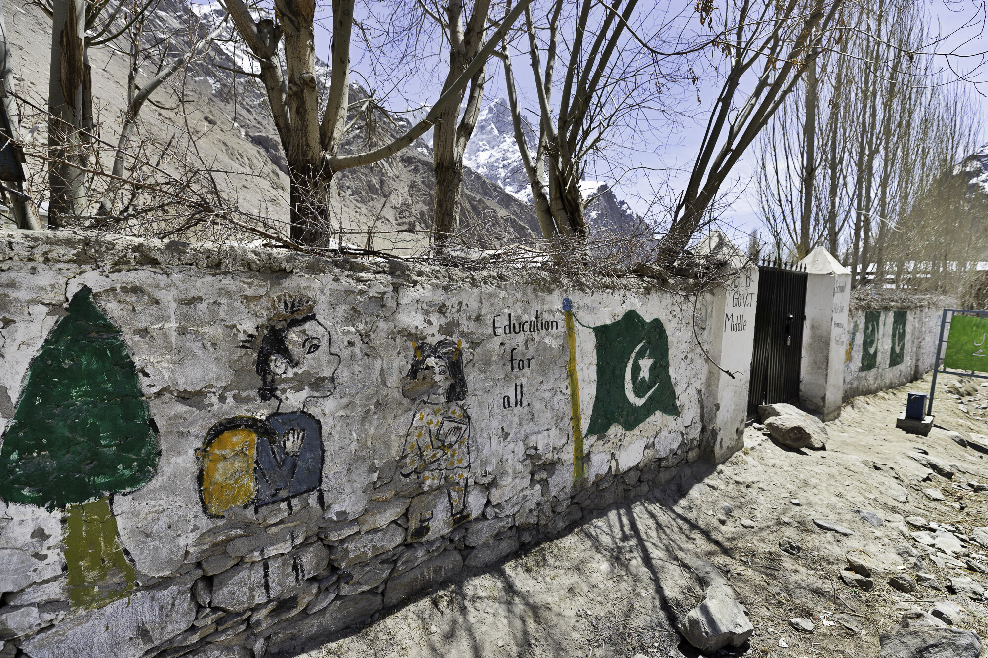
Our tour guide had organised for a local man to give us a tour of Hushe. Hushe is predominantly a farming community. In the 1960s villagers started working as porters and cooks for K2 expeditions. Expeditions brought work and money to this very remote community. However, covid has meant that the number of expeditions has significantly decreased. There is a primary and middle school, any further education must take place in Skardu, over 5 hours away. The cost is prohibitive for many families. The other major challenge for the village is water. There is only one water pump and this freezes over winter.
We stopped and talked to several people as we walked around the village. One woman was happy for me to take her photo but was insistent I do not post to Facebook. I was surprised that Facebook had made its presence felt in such a remote place. A grandmother was minding her grandchild and was very happy for her photo to be taken. The grandchild was not and cried and cried! As a mother and daughter sifted tea leaves, we were told of the process of growing and making the local green tea. A couple of cows became very interested in us and a small boy was dispatched to drive them away. We visited in late April and, at this end of the valley, it was still looking barren as this is the start of the planting season. Men and women were working together in the fields surrounding the village getting the soil ready. Villagers rely on these crops and the growing season is extremely short.
Wherever you walk in the village you feel the presence of the mountains and Masherbrum. Brum means mountain in the local Balti language. Many meanings have been given for Masher from ‘queen’ to ‘no sunlight’. If K2 is the ‘King of Mountains’ in Pakistan, then perhaps Masherbrum is the Queen.
Ghursay Mountains (K7 (6934m), K8 (7422m) and K9 (7000m))
Machlu Village
Machlu Village
Fields outside Machlu Village
Extra rocky part of the road
Apricot trees are left to soak in the mountain streams before planting
Spring seems a long way off
IFAD Project - apricot orchard
Looking back towards Saling
Hushe Village
I was very sorry that I made this poor child cry
Sifting green tea
Curious cows
Tin cans used to make a very useful gate
Education for all
Enter to read….leave to lead
Education is the best tool to change the world - Nelson Mandela
Education is the process to produce a sound mind in a sound body - Aristotle
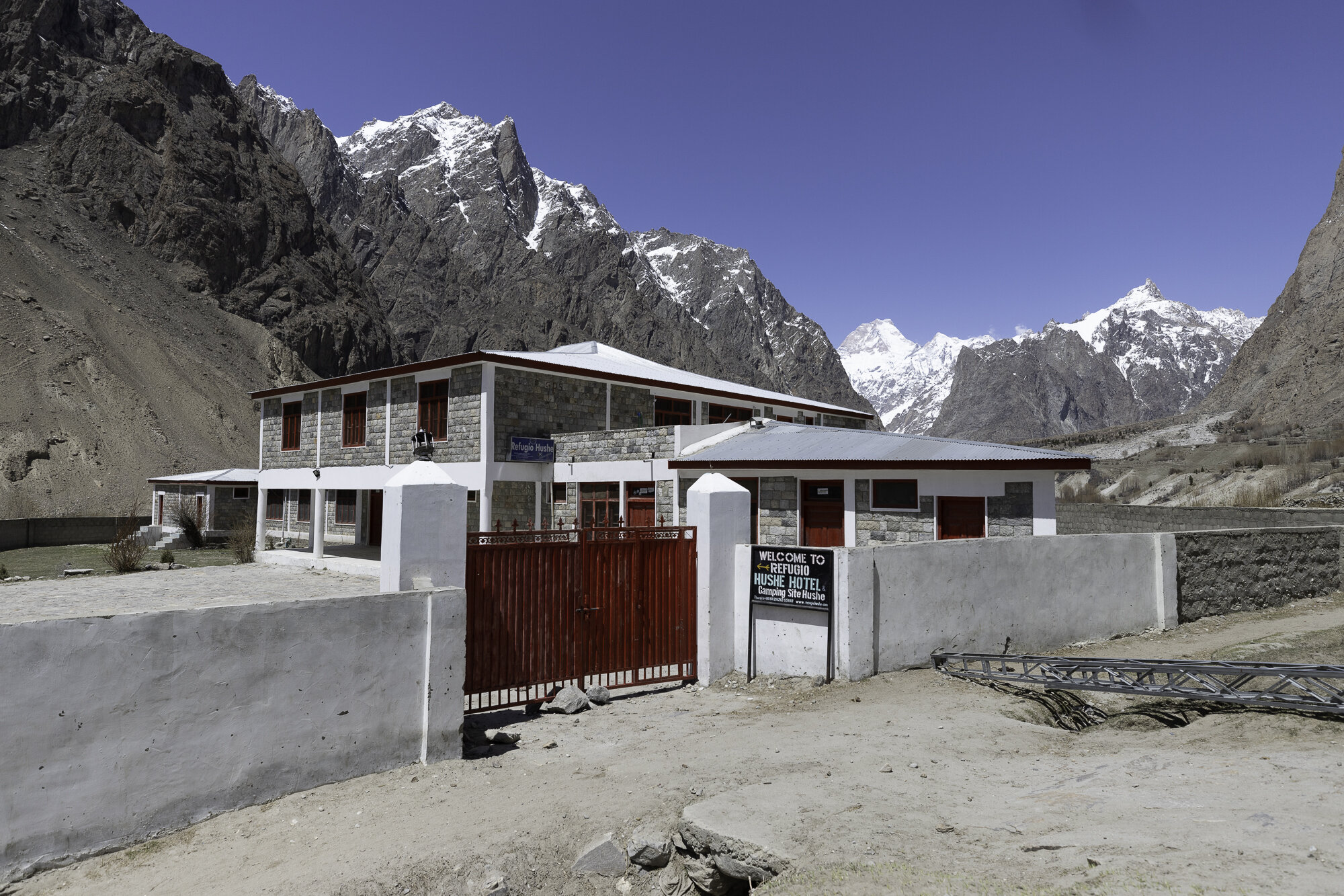
Refugio Hotel - a gift from the Spanish Government


